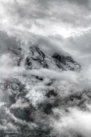
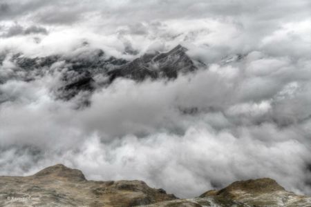
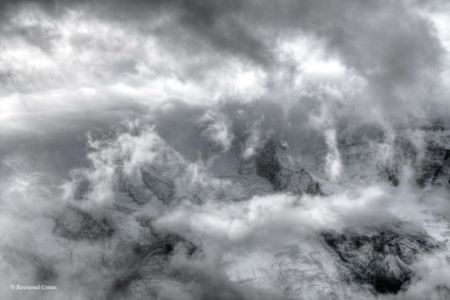
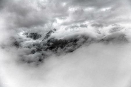
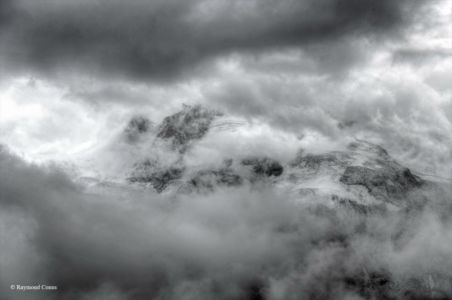
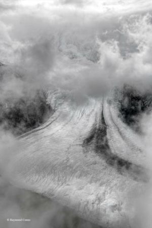
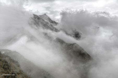
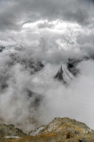
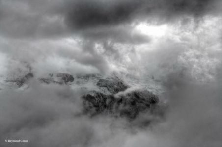
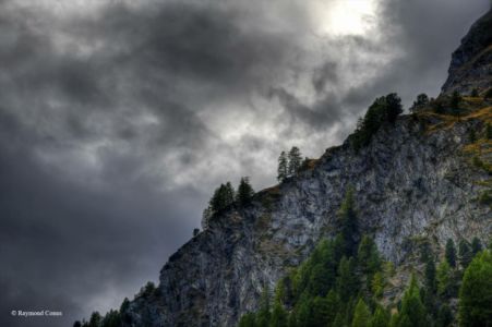
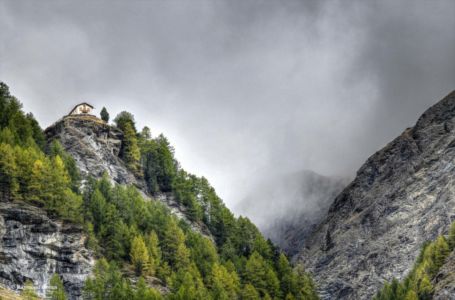
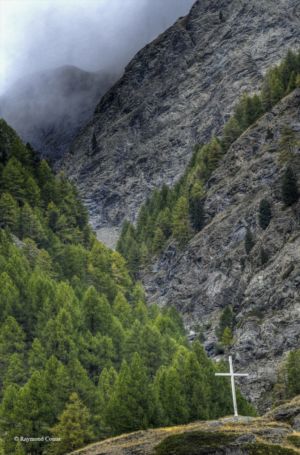
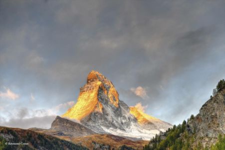
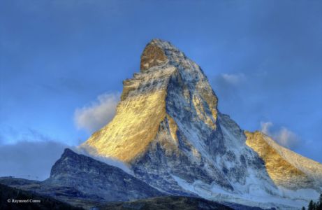
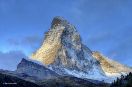
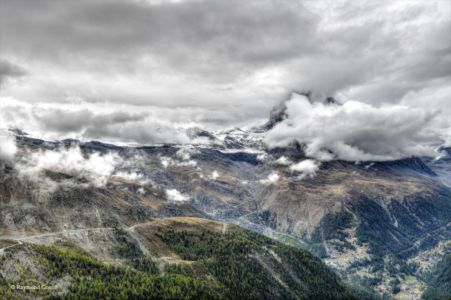
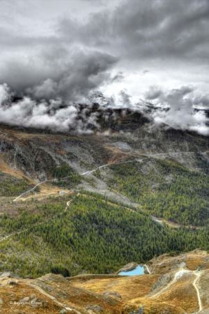
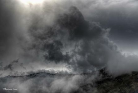
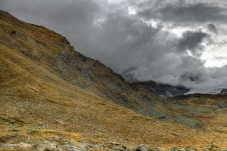
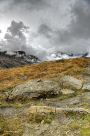
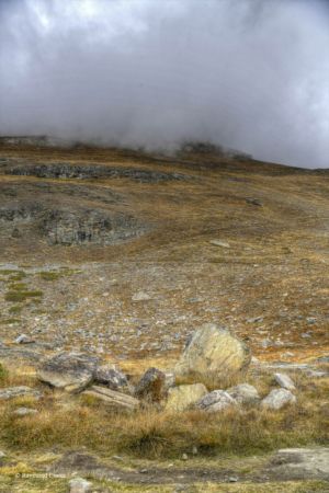
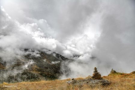
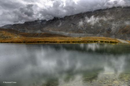
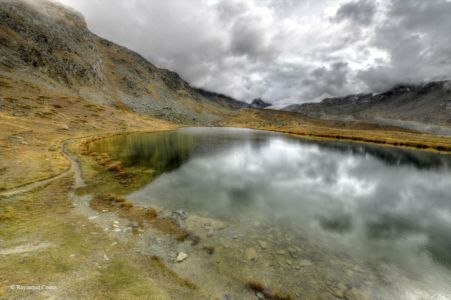
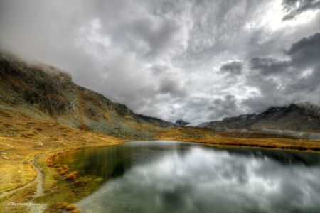
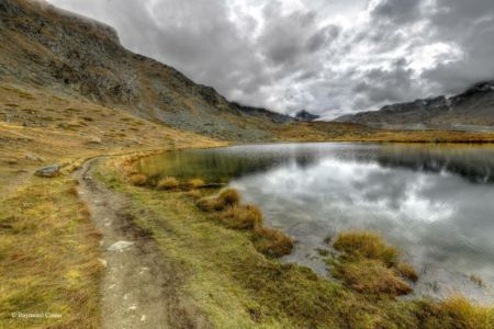
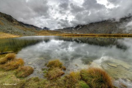
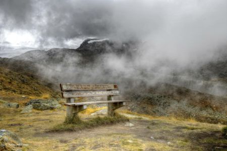
Zermatt is located at the bottom of the Mattertal valley, at the foot of the Matterhorn, at an altitude of 1,620 m, in Upper Valais, the German-speaking part of this Swiss canton. The territory of the commune adjoins Italy. It is a ski resort that offers a ski area of 350 km of slopes in total, and culminating at 3,883 m (Zermatt Bergbahnen), as well as an important mountaineering and climbing centre. The region is also well known to mountaineers: it is here that the Haute Route ends, a very demanding international multi-day route that starts in the Mont Blanc region and ends in Zermatt. More than 400 kilometers of paths crisscross the Matter Valley and lead far beyond, like the partially paved mule tracks that date back to the 13th century. The Zermatt region is home to the highest peaks in Switzerland, including 38 of the 54 Swiss peaks above 4,000 meters. Some of the best known are Mount Rosa (4,634m), Dom des Mischabel (4,545m), Liskamm (4,527m), Weisshorn (4,526m) and Matterhorn (4,478m). The Matterhorn is the emblem of Zermatt. The region is also home to a large number of glaciers in the valleys and on the surrounding high peaks, such as the Gorner glacier, Findelen glacier or the Zmutt glacier. After the Aletsch Glacier, it is the second largest area covered by ice in the Alps.